Distance Learning Module 12 - Kabul-Kunar River Hydropower & Irriggation
-
The Kabul River Basin has a drainage area of about 54,000 km2, which is only about 12 % of the land area of Afghanistan but about 26% of the annual flow of the country. It flows along or through borders of 11 provinces with a population of >7 M people. The Kabul River discharge water volume generally ranges 33 – 460 m3/second but in recent drought years has run dry in Kabul City. Lower Kabul River near Pakistan border can go 700 m3/second (22 km3/year). The Kabul River has its main upper tributaries being the Logar River, and the Panshir River that has the major Ghorband tributary. Logar River is tributary to Kabul River near Kabul City, but does not have a large discharge and much of its water is used in irrigation.
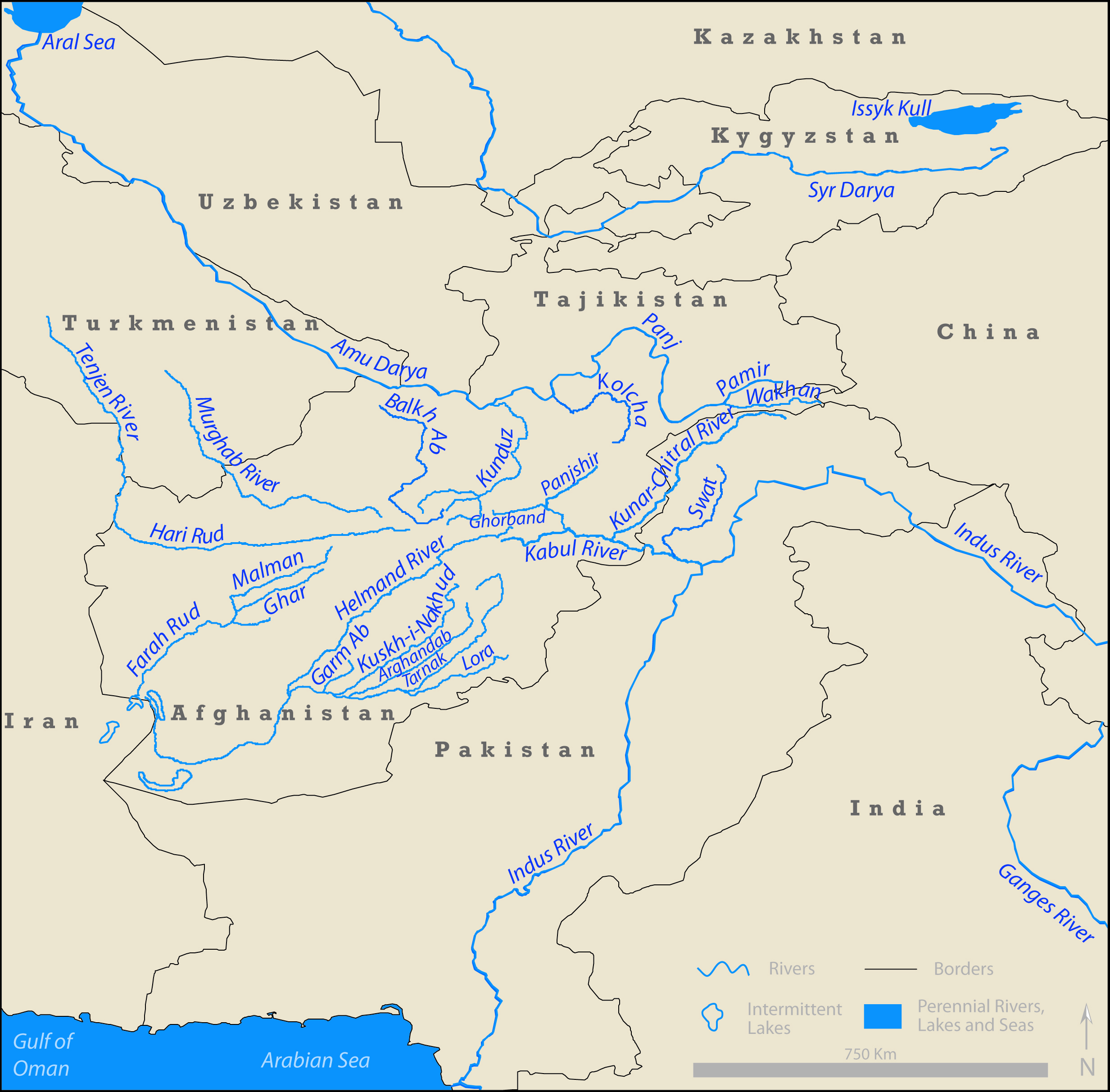
Figure 12.1. Map of basic rivers of Southwest Asia.
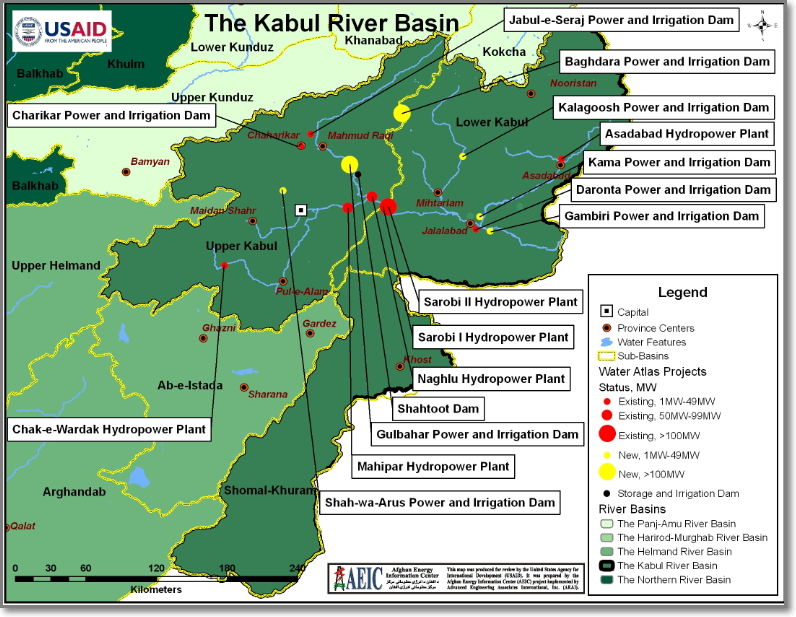 Figure 12.2. Map of water projects past, present, and planned on the Kabul River and its tributaries. This map is incomplete in terms of all the tributaries (Ghorband River is missing; tributary names are missing).
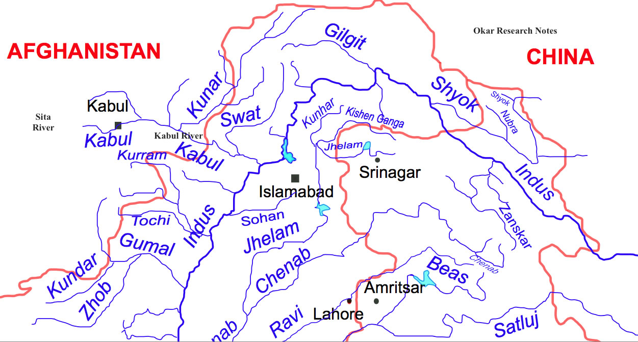 Figure 12.3. Map of Kabul River, with emphasis on tributaries in Pakistan (the tributaries in Afghanistan are mostly missing). Note in particular, the Kunar River and the Swat River.
 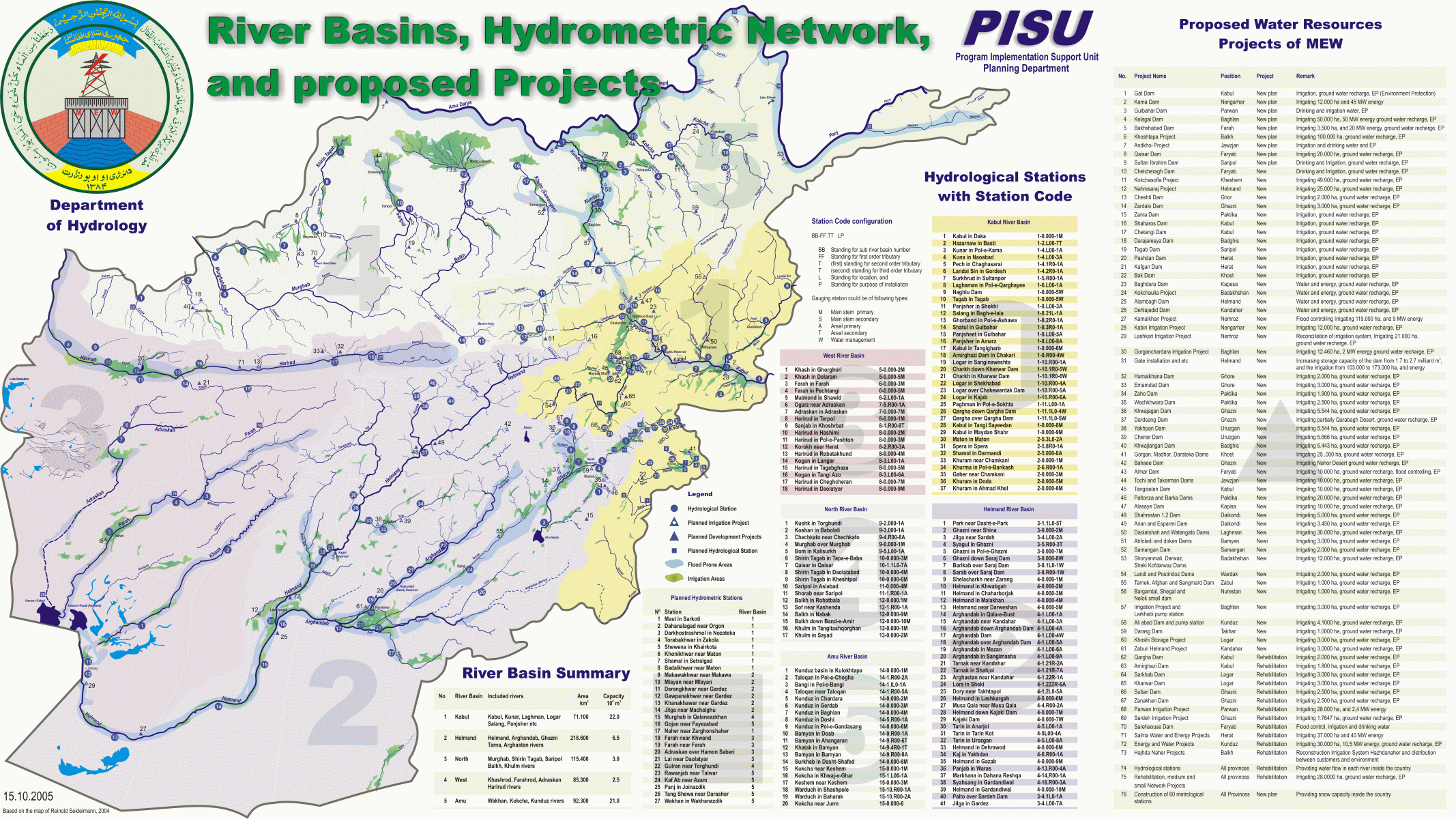 Figure 12.4. Afghanistan river basin details.
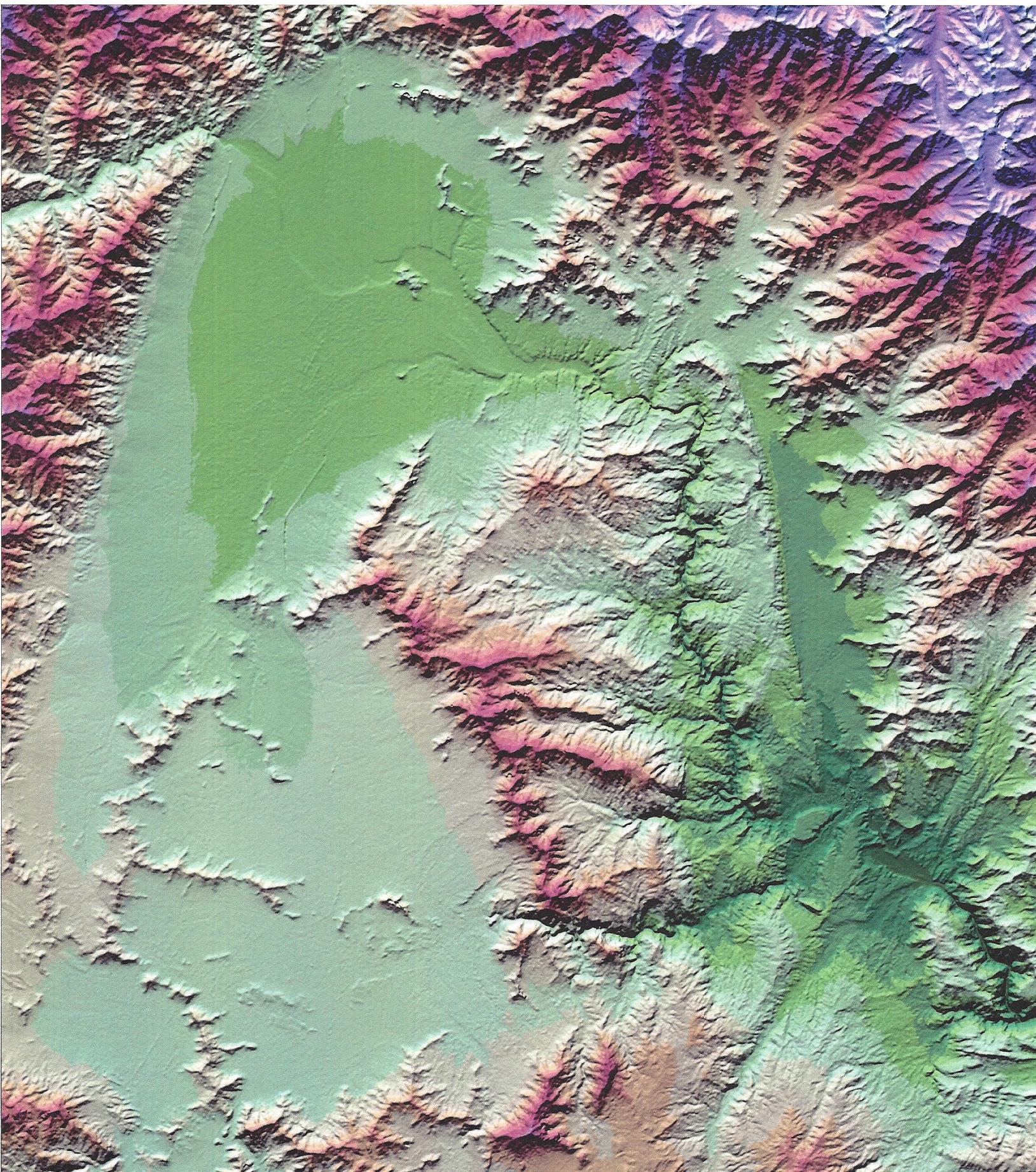 Figure 12.5A. Digital elevation model map of the northern Kabul Basin. Notice in particular the course of the Panshir River before it joins the Kabul River. The rocks of the Kabul Basin have in recent geologic time tilted down to the west and up in the east, which caused the Panshir River to erode down into the rocks to produce the Panjshir River Canyon.
- Ghorband is tributary to Panshir at north end of Kabul basin.
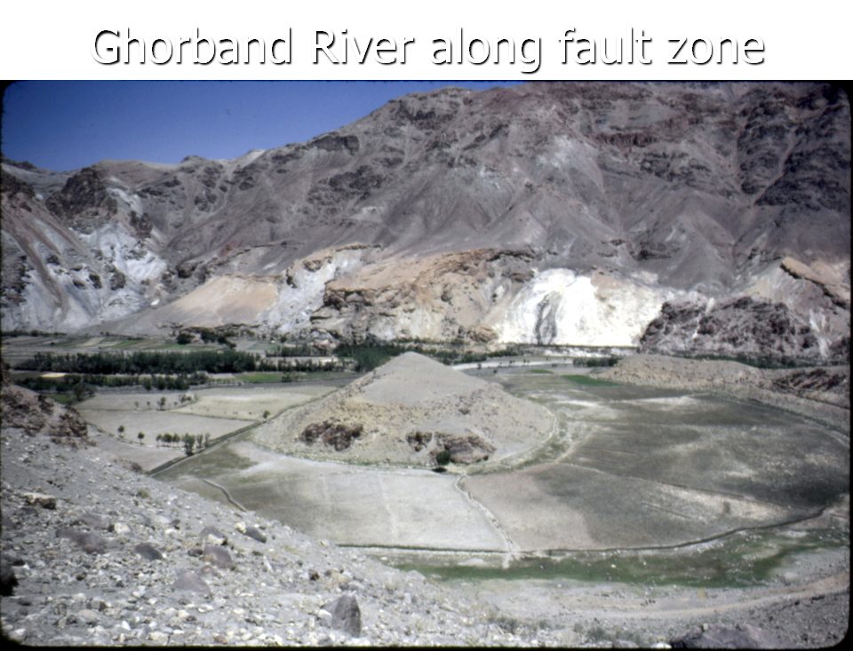 Figure 12.5B. Ghorband River, which flows into the Panshir River in the north of the Kabul Basin.
- Panshir River is a glacier-fed tributary to Kabul River about 55 km east of Kabul City at Sarobi confluence.
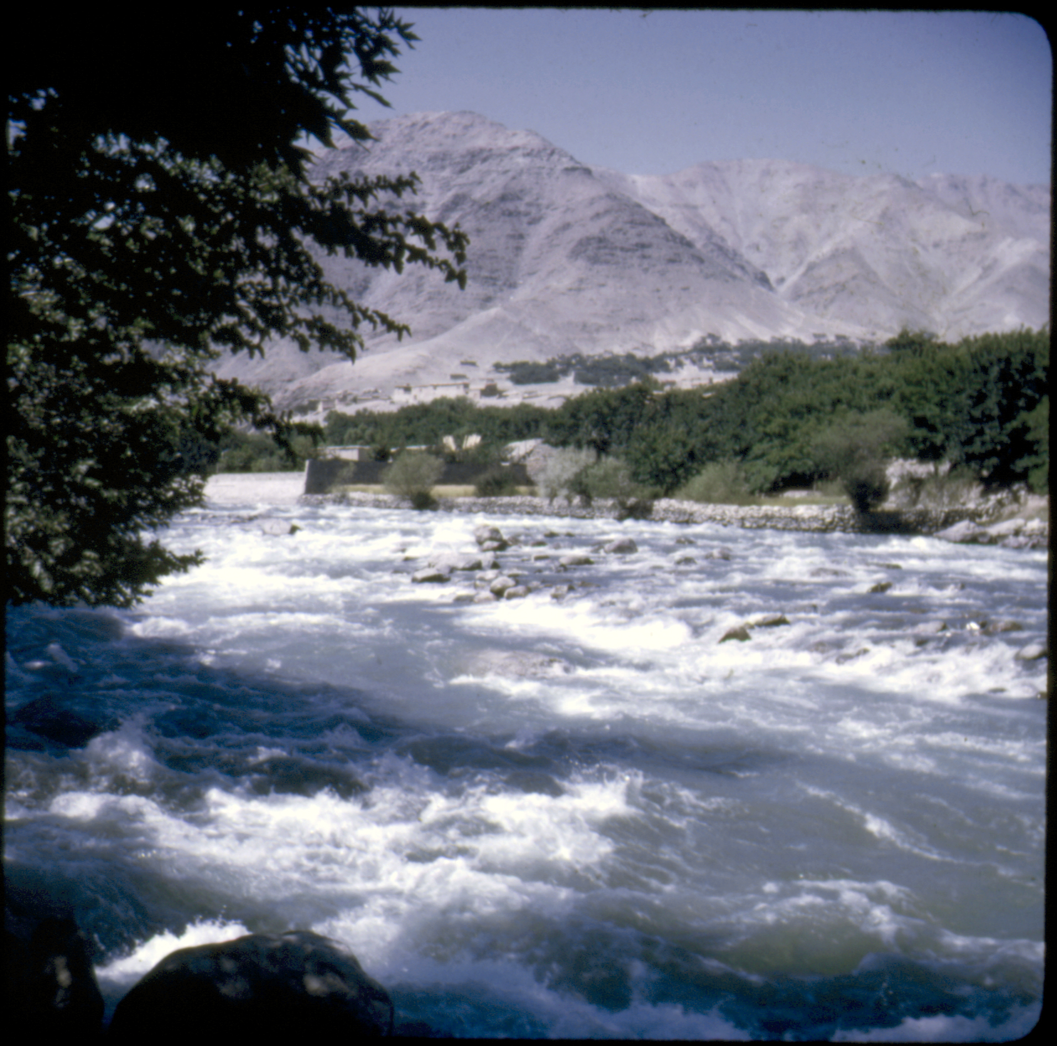 Figure 12.5C. Panshir River flowing out of the Panshir Valley in the Hindu Kush.
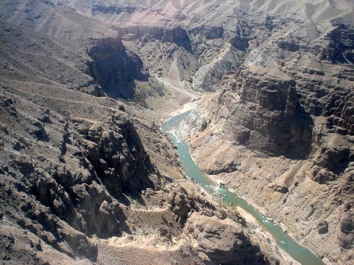 Figure 12.5D. Panshir River in the Panshir Canyon cut down into the uplifted Kabul Basin rocks. If this canyon was dammed to produce hydroelectric power for Kabul City, enough power would also be available to lift water from here to pump it to Kabul to recharge the depleted ground-water aquifer underneath the city.
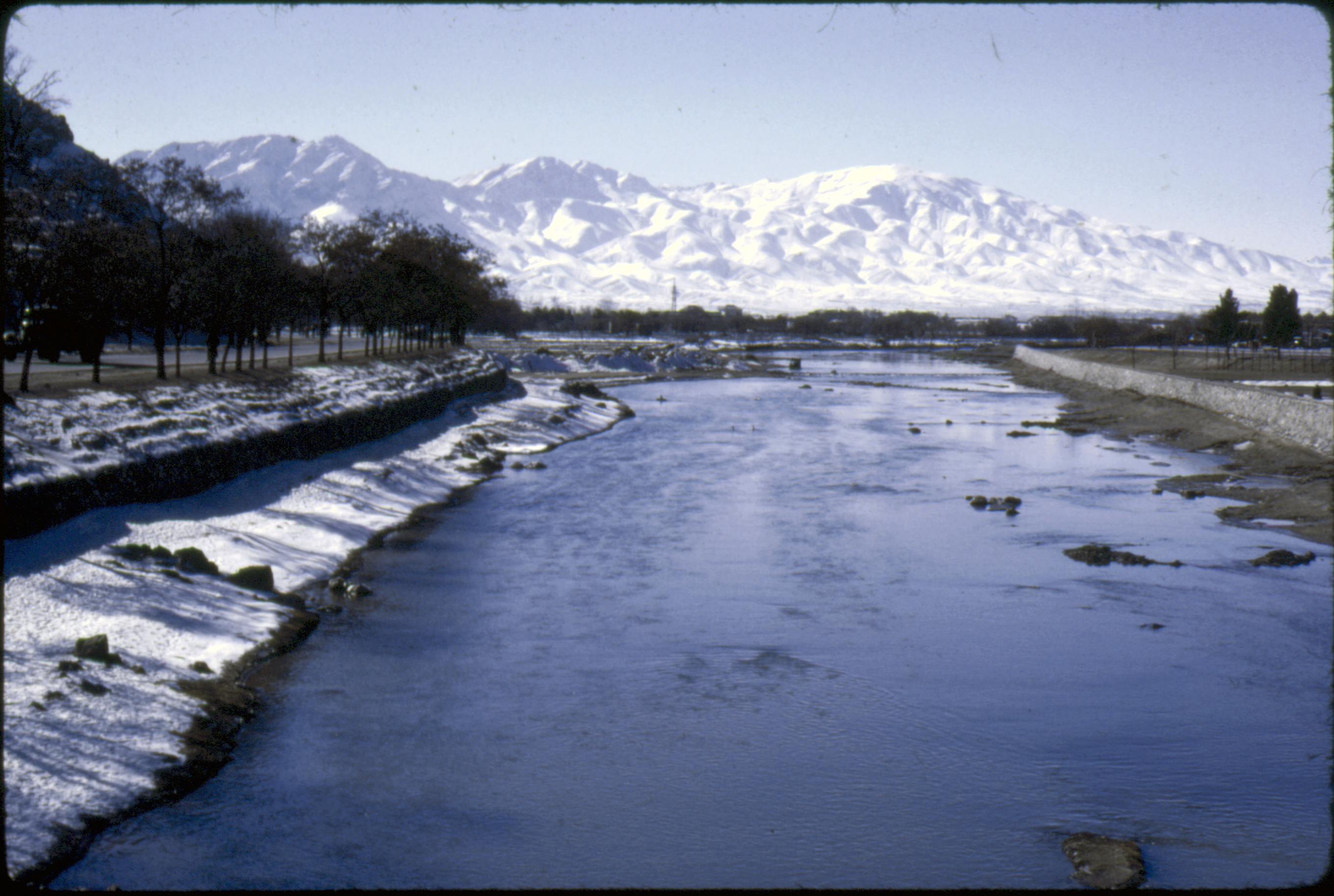 Figure 12.6A. Clean Kabul River in 1977-78.
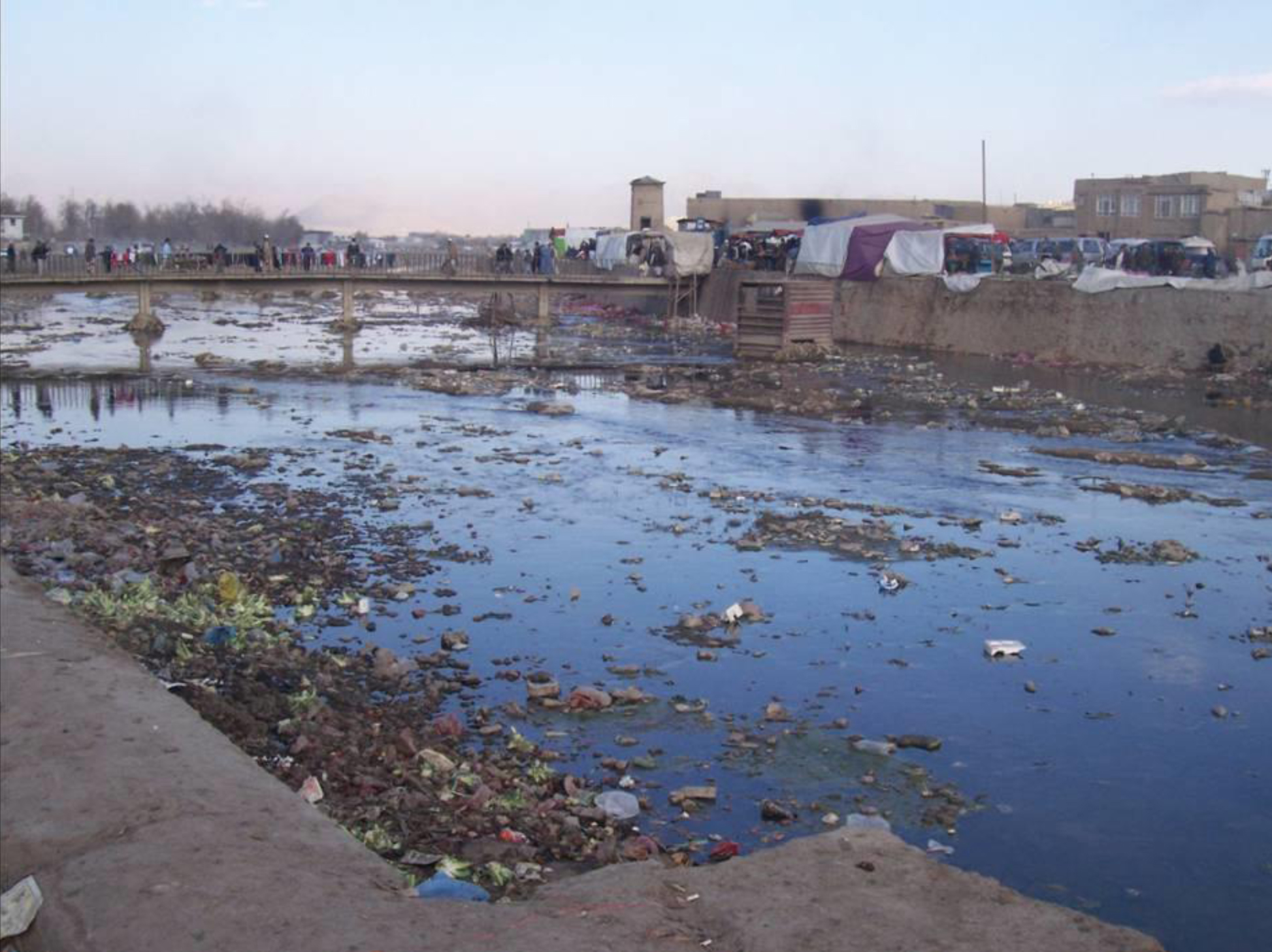 Figure 12.6B. Dirty and very low Kabul River in drought years of early 2000s.
- The water from the Panshir could be used as a water source to recharge aquifers beneath Kabul City, but would have to be pumped up at least 200 m in elevation.
- Lower down in the Jalalabad basin the Kabul River has the Laghman – Alinghar – Alishing tributaries, and the large Kunar tributary.
- Glacier-fed Kunar River coming from northern Pakistan as the Chitral River is confluent with the Kabul River at Jalalabad, and has a high annual discharge of about 10 km3 as it enters Afghanistan.
- Kunar River in Afghanistan has the Landai Sin River and the Pech River tributaries from the glacier and snow-melt in mountainous Nuristan Province.
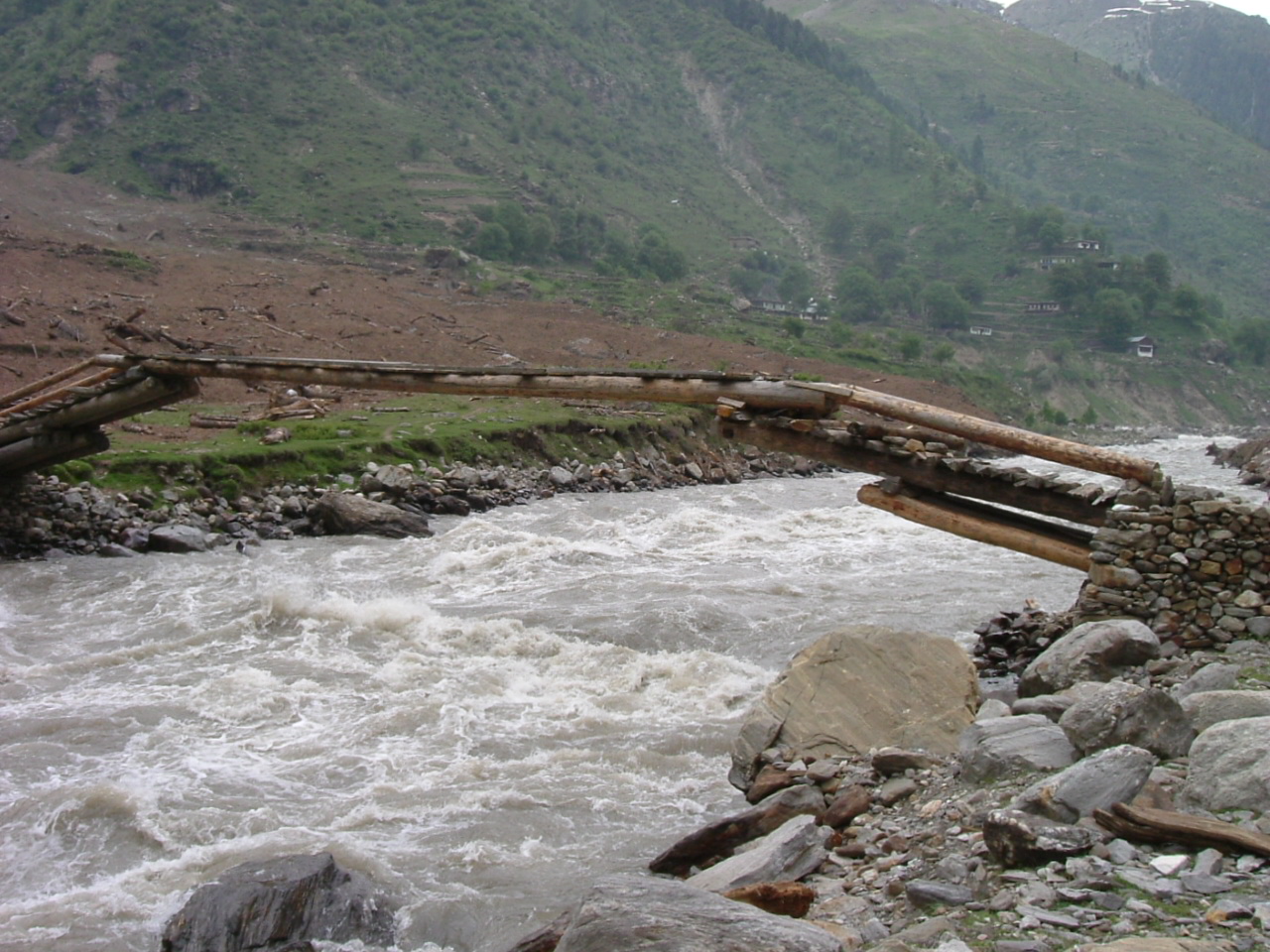 Figure 12.7. Typical log bridge for pedestrians on the Kunar River.
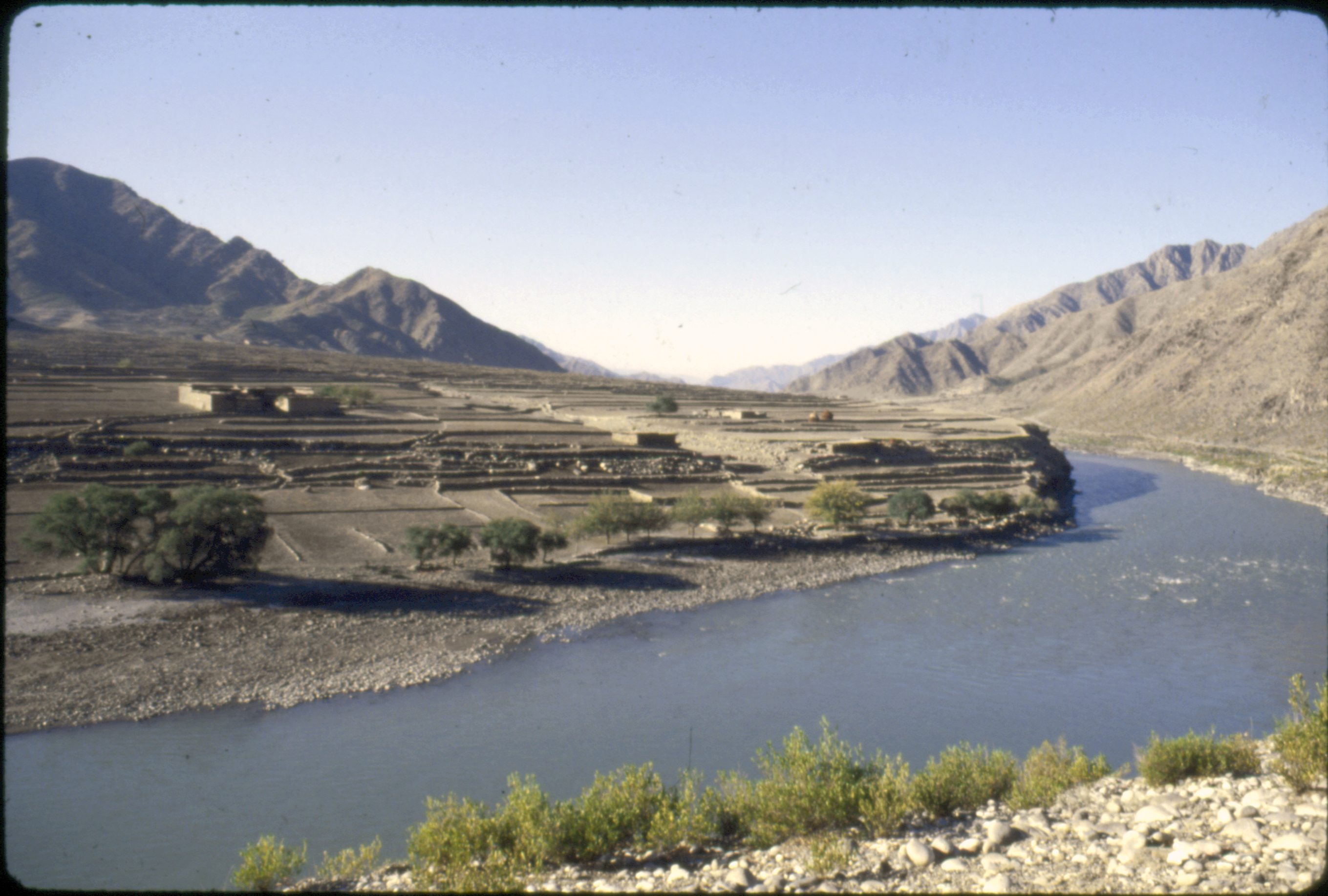 Figure 12.8. Kunar River near Jalalabad. Damming of this river would be very good for development of hydroelectricity to use in Afghanistan and sell the surplus electricity to energy-starved Pakistan. One or more such dams would also be excellent to increase availability of irrigation waters.
- The flow of the Kabul River into Pakistan is judged at about 21.5 km3/year.
- Pakistan benefits from these water flows from Afghanistan but provides no financial or engineering support for flow-control structure or water management.
- Recently Afghanistan and Pakistan have discussed favorably the damming for irrigation and hydropower generation the Kunar River with help from China.
- If this development of the Kunar River can be done without too much violence, it would be a major change for the border region; what is called in English, a major “game changer” between Afghanistan and Pakistan.
Distance Learning Module #12 Sample Questions